
The Chicago area likely won’t see severe weather Sunday, but localized flooding could occur thanks to slow-moving thunderstorms.
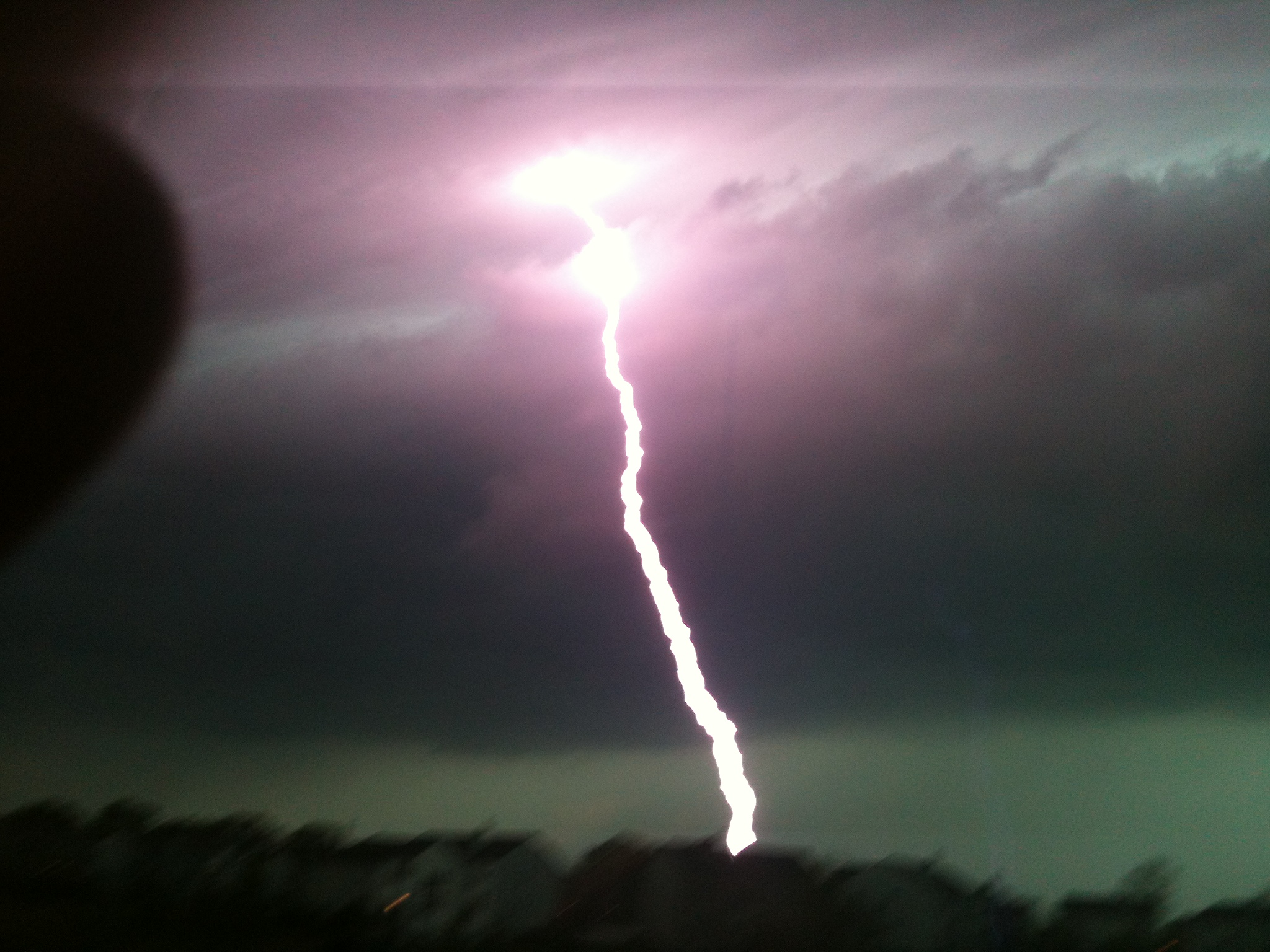
The National Weather Service sent out guidance Sunday called for an “elevated risk” of thunderstorms across the area, and while gusty winds cannot be ruled out the main threats of the storms will be heavy rain and localized flooding, according to forecast models.
The storms have already started to fire in western Illinois, spawning multiple flood warnings and even isolated tornado warnings as the storms slowly push to the north and east.
Some of those storms have produced rainfall rates of up to 1-to-3 inches per hour according to the National Weather Service, and the system is expected to slowly push toward the east, impacting the Chicago area in the afternoon and evening hours.
According to NWS guidance, the storms are expected to slowly build from southwest to northeast through the evening, though most of the heavy rain is expected to stay to the southwest of Chicago itself.
After those storms end, there are still multiple chances of rain in the forecast for the coming week, though most of the showers and storms are expected to be isolated in nature.
Dewpoints are also expected to climb throughout the week, which could push heat indices above 100 degrees by Wednesday as temperatures are forecasted to soar into the 90s, according to the NBC 5 Storm Team.
Thursday could see a chance of strong-to-severe thunderstorms, and after that threat subsides it’s expected things will calm down in the area, with cooler temperatures and lower humidity headed into next weekend.
Stay tuned to the NBC 5 Storm Team for all the latest weather updates, and be sure to download the NBC Chicago app to get real-time weather alerts sent to your phone.