
The Chicago area could see multiple rounds of severe thunderstorms in coming days as a massive warm-up is on the way.
According to the latest guidance from the Storm Prediction Center, nearly all of northern Illinois is at a “slight” risk of severe weather Friday, the second of five levels used by the SPC to determine the risk of powerful storms.
All of Indiana is at a “marginal” risk, one rung lower on the ladder.
Those storms could arrive at different times, with some even impacting the area overnight and into Saturday morning according to current forecast models.
Before the storm system arrives to impact the area, the region will likely see one more day of seasonable temperatures, with highs in the 40s on Thursday.
The main weather headlines for Thursday will include dense fog, which has already developed Wednesday and could stick around well into the day on Thursday, according to the NBC 5 Storm Team.
In addition, there are chances for showers or perhaps even a few rumbles of thunder on Thursday, especially in areas east of Interstate 57, though the entire area could see some raindrops during the day.
Friday is when the main events will occur. That will begin with temperatures soaring to levels normally seen in early September, with highs in the upper-60s in Chicago and rising well into the 70s across the rest of the area.
Those temperatures will be accompanied by gusty winds out of the south, and the first of two rounds of strong-to-severe storms could impact the area beginning in the early afternoon hours Friday, especially in parts of the region to the west and north of the city of Chicago.
Most of the day across the area will be cloudy, but that will slowly start to change late Friday and into Saturday as the second round of showers and thunderstorms impacts a much larger portion of the region.
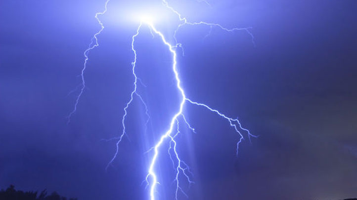
The main threats with storms that develop will be heavy rains and gusty winds, with some gusts of up to 60 miles per hour possible. There is also a non-zero risk of tornadoes with the storms.
The front’s passage through the area will ultimately drop readings into the upper-50s and low-60s on Saturday, but skies will also clear and pave the way for a pleasant end to the weekend, with highs back in the 60s Sunday under partly sunny skies.
Monday could be even better with highs in the 70s and plenty of sunshine, but another front is expected to move through on Tuesday, bringing with it a chance for rain and cooler temperatures by midweek.
Stay tuned to the NBC 5 Storm Team for all the latest weather news and information, and download the NBC Chicago app for real-time weather alerts sent directly to your phone.