
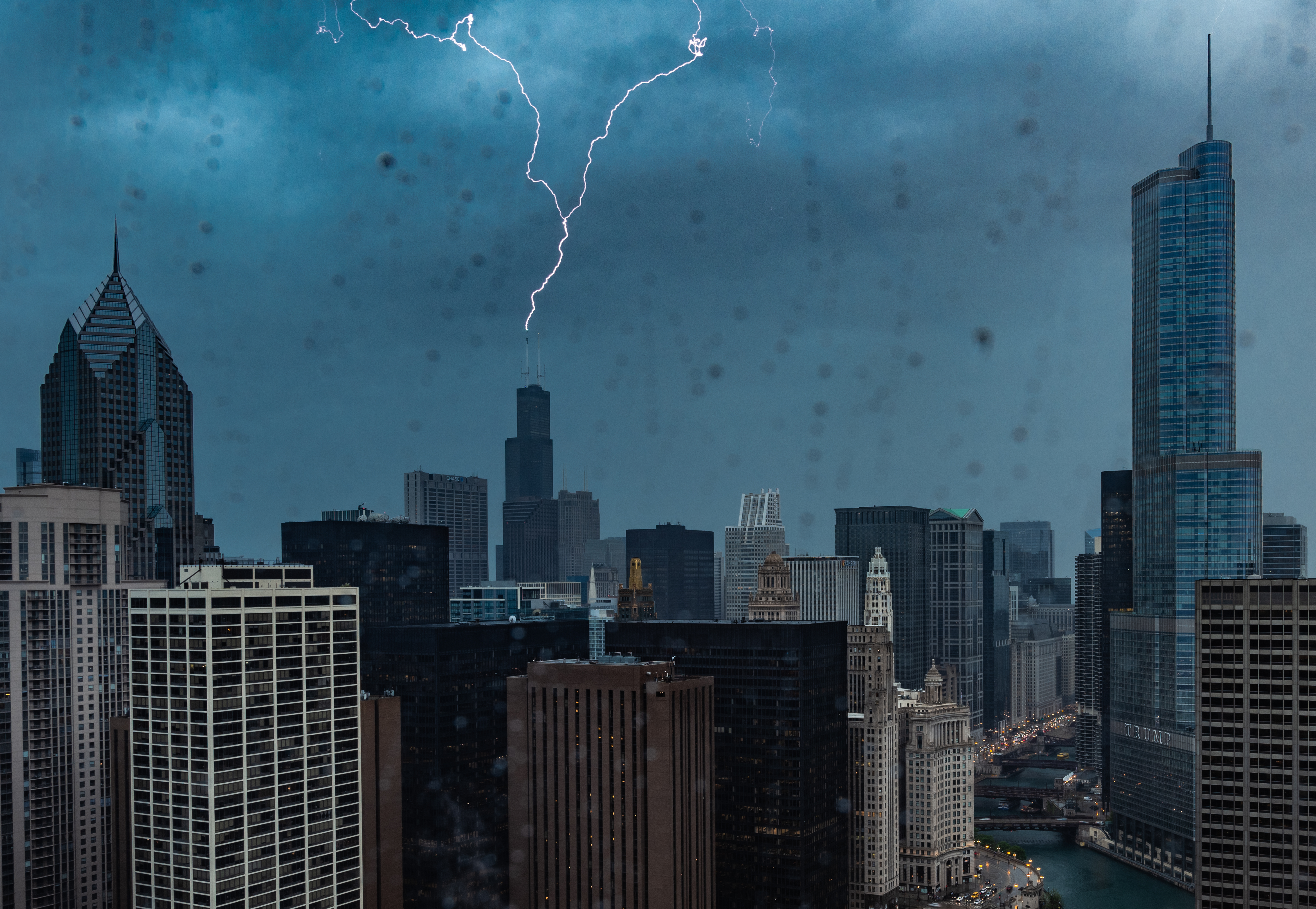
The Chicago area is going to face an “enhanced” risk of severe weather in coming days, with “strong tornadoes” and flooding rains possible.
Most of northern Illinois will be at an “enhanced” risk of severe weather Wednesday according to the Storm Prediction Center, and the entire Chicago area will fall in that category Thursday as storms could bring dangerous wind gusts of up to 70 miles per hour, damaging hail and the threat of tornadoes to the region.
Tuesday will likely be a bit quieter, with only a few pop-up thunderstorms expected in the late evening hours, according to the NBC 5 Storm Team.
Temperatures are expected to climb again on Wednesday, rising into the low-90s as heat indices push upward to nearly 100 degrees, according to forecast models.
That heat and humidity will provide plenty of fuel for potential thunderstorms, and the threat of supercell storms will help to drive up the chance of severe weather, which could include strong, damaging tornadoes, wind gusts, and heavy rain, which could cause localized flooding.
In fact, multiple rounds of storms could impact the area through the afternoon and into the evening hours, with some even persisting past midnight, according to forecast models.
While northern Illinois is at the “enhanced” risk of severe weather, northwest Indiana may not escape impacts, as the state is at a “slight” risk of severe weather.
After a quiet start to the day Thursday, temperatures and humidity are once again expected to soar, with highs in the 90s and heat indices once again threatening triple-digits across the area.
This time, an approaching cold front could bring the threat of severe weather to the Chicago area, with tornadoes, large hail and heavy rain once again possible. There is also a strong possibility that damaging wind gusts could emerge out ahead of the approaching cold front, posing a serious severe weather risk Thursday afternoon.
In fact, the entire Chicago area, including northern Illinois and northern Indiana, will be at an “enhanced” risk of severe weather Thursday, with those storms likely clearing out by early evening.
Once those storms clear out temperatures are expected to cool and humidity levels are expected to drop, though the Chicago area could again see a storm threat on Saturday evening.
By Sunday, high temperatures are expected to drop back into the 70s, making for a mostly pleasant start to the new work week.
Be sure to stay tuned to the NBC 5 Storm Team for all the latest weather information, and download the NBC Chicago app for real-time weather alerts sent directly to your phone in the event of severe weather.